Complete Geospatial Platform

Build, publish, automate, and analyze geospatial applications with QGIS-centric workflows and complete control over your data.

hero-image

One platform for your entire workflow

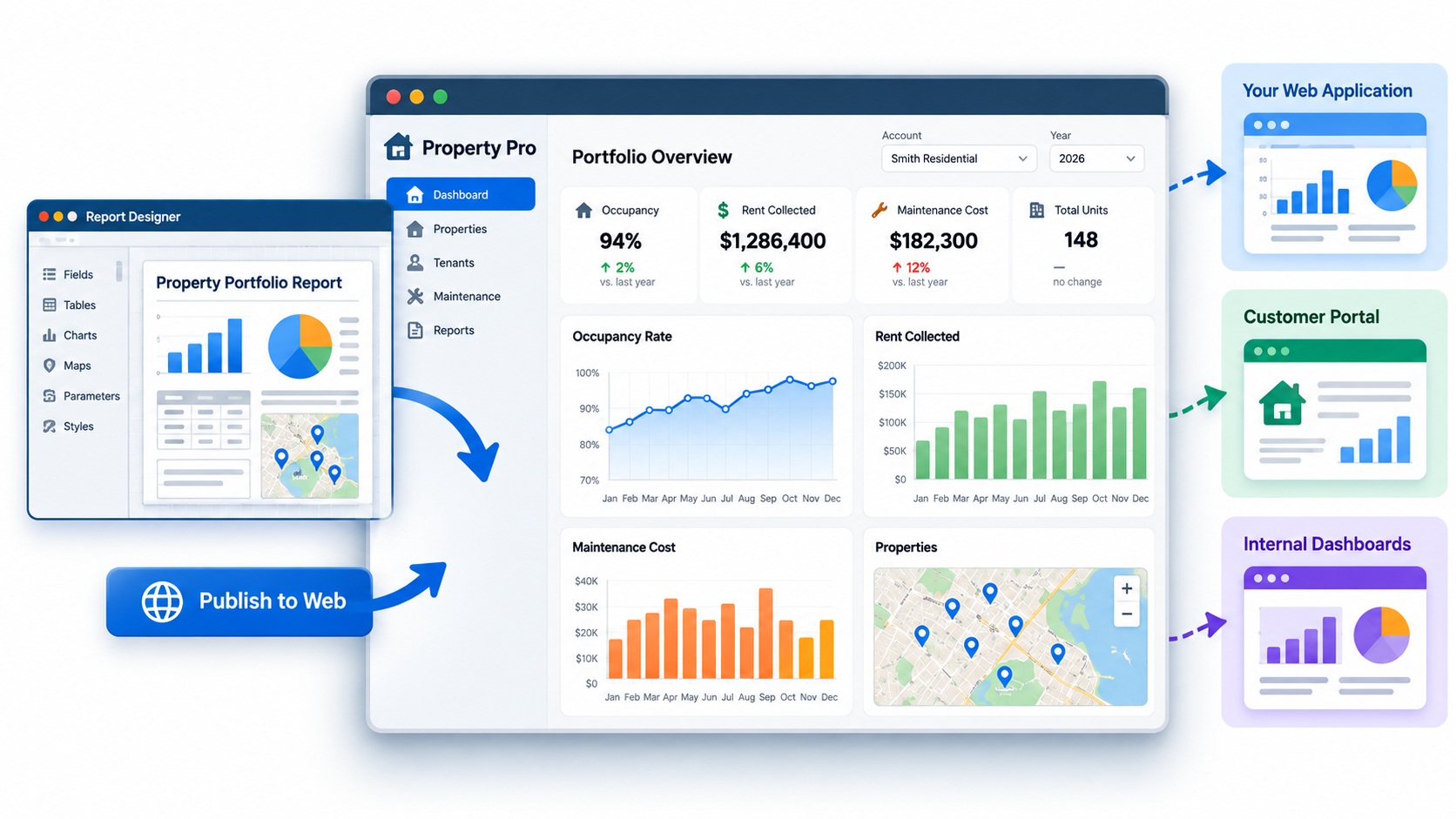
Manage geospatial data, publish QGIS projects to the web, generate reports, synchronize field collections, and automate workflows — each product connects naturally to the next in a single integrated environment.

Data Management

assessment GeoDrive

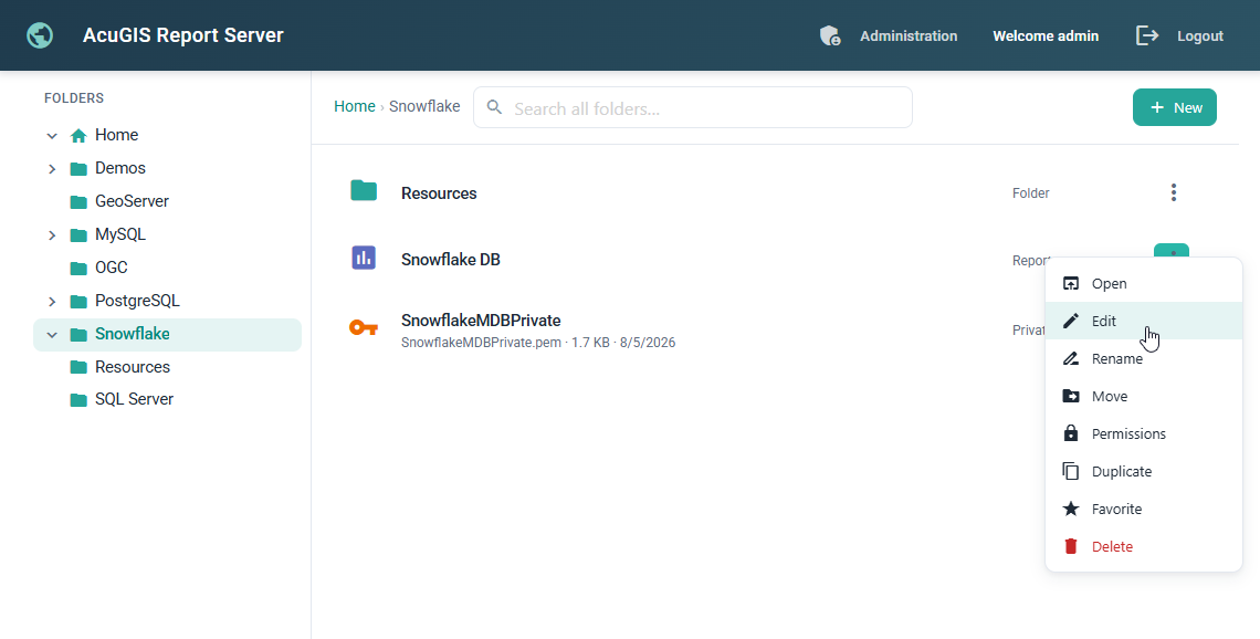
GeoVault is a centralized geospatial data management platform for organizing, importing, managing, and publishing raster and vector data through a clean, permission-aware workflow. Edit, track, and publish by Version.

  • Centralize your geospatial data — Store, organize, and manage spatial datasets from a single secure repository.

  • Import from virtually anywhere — Upload files, connect to PostGIS, cloud storage, web services, or remote URLs with ease.

  • Version and publish with confidence — Track dataset history, manage revisions, and publish data directly to your GIS applications.

content-image
content-image
Map Publishing

map QGIS Publisher

QGIS Publisher transforms QGIS projects into web-ready maps and services. Publish projects, preserve styling, expose layers, and deliver interactive maps without complex server configuration.

  • Publish QGIS projects with a single click — No manual server configuration or project conversion required.

  • Preserve your maps exactly as designed — Styles, labels, forms, and layer organization are maintained automatically.

  • Deliver professional web maps and services — Interactive viewers, OGC services, and secure sharing are included out of the box.

Synchronization

assessment GeoSync

GeoSync enables synchronization of mobile data to PostGIS. Synchronize files, datasets, and geospatial resources between local, cloud, and remote systems with scheduling and operational monitoring. Simple, intuitive UI with fine grain synchronization controls.

  • Keep field and office data in sync — Automatically synchronize QGIS projects, databases, and files between field teams and central servers.

  • Support online and offline workflows — Collect data anywhere, then synchronize changes when connectivity is available.

  • Reliable conflict handling — Track edits, manage updates, and keep distributed datasets consistent across multiple users and locations.

content-image
content-image
Reporting

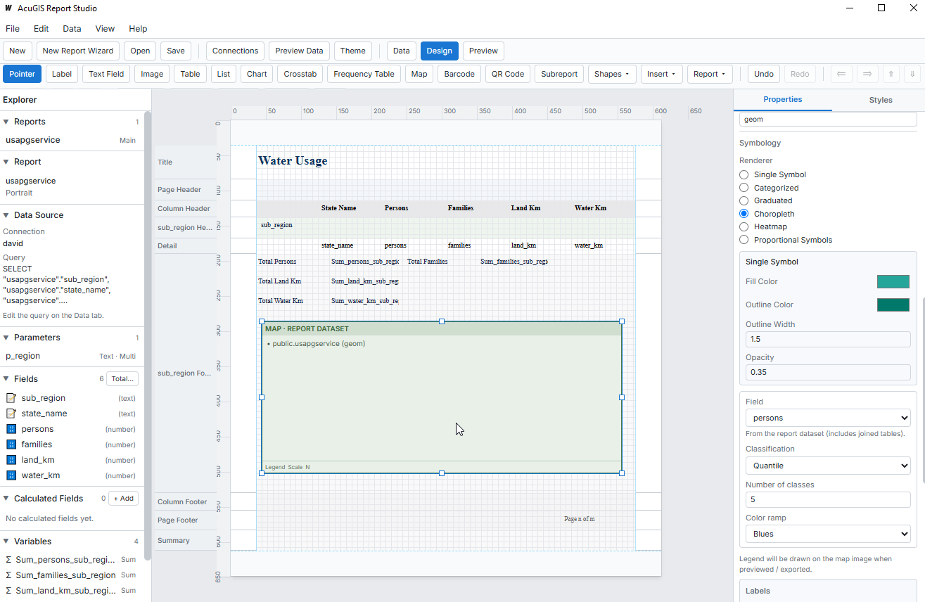
assessment Reports

Jasper Publisher provides a streamlined interface for creating, running, scheduling, and distributing reports from live databases, maps, and operational datasets.

  • Design powerful reports visually — Build professional reports using JasperReports Studio without writing complex code.

  • Connect directly to spatial data — Generate reports from PostGIS, databases, and GIS datasets with live queries.

  • Deliver reports anywhere — Publish interactive reports as PDF, Excel, HTML, or Word and make them available through a modern web portal.


account_tree AI Pipelines

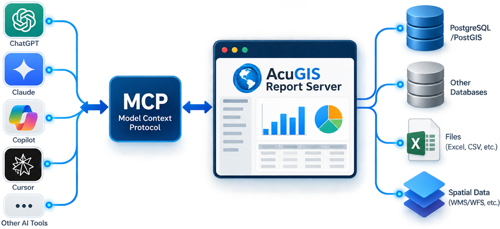
GeoETL simplifies spatial data integration by connecting to databases, cloud storage, GIS services, and common file formats through an intuitive visual interface. Build repeatable workflows that transform, validate, and move data between systems without writing complex scripts.

  • Design automated ETL pipelines to import, clean, enrich, and publish spatial data on a schedule. Keep enterprise databases, cloud platforms, and GIS applications synchronized with reliable, monitored workflows.

  • Support hundreds of data formats, coordinate reference systems, and enterprise databases including PostGIS, Oracle, SQL Server, MySQL, GeoPackage, Shapefile, GeoJSON, and web services. GeoETL scales from simple imports to complex enterprise integration projects.

map-image


terminal API and CLI

Everything in AcuGIS Cloud is accessible through documented REST APIs and a powerful command-line interface. Automate repetitive tasks, integrate with CI/CD pipelines, manage datasets and maps, and build custom applications using the same APIs that power the platform..

user@acme:~$ pip install acugis
	
user@acme:~$ acugis login https://dev.acugis.cloud --token
✔ Logged in with personal access token.
✔ Token saved.
ℹ Connected to:
https://dev.acugis.cloud
ℹ Authenticated as:
admin
user@developer:~$ acugis maps update westlake-survey.zip
Success: Project Updated to Version 4

Download the White Paper

Learn how AcuGIS Cloud simplifies enterprise GIS deployment, management, and collaboration.

Read the
White Paper

The AcuGIS Cloud White Paper explores the platform architecture, core services, security model, deployment options, and integrated GIS workflows. It is intended for GIS managers, IT administrators, developers, and organizations evaluating modern cloud-based GIS infrastructure.

For readers who prefer a high-level overview, the Executive Summary highlights the platform's key capabilities, supported workflows, and primary benefits in just a few pages, making it ideal for decision makers and project stakeholders.

Worldwide Hosting Locations

Select from 18 worldwide locations.

  • San Francisco
  • Toronto
  • New York
  • London
  • Frankfurt
  • Warsaw
  • Paris
  • Madrid
  • Stockholm
  • Amsterdam
  • Singapore
  • Sao Paulo
  • Johannesburg
  • Mexico City
  • Santiago
  • Sydney
  • Tokyo
  • Seoul

Questions & Answers

Have questions?
We have answers

Some questions about acugis.cloud that are asked frequently. We have compiled a list of the most common questions people usually ask us!

Read The FAQs
  • Get started with acugis.cloud
  • Which hosting locations are available for SaaS?
  • Do you offer a trial?
  • What level of Support is included?
  • How do I get help?

Hosted or Self-Hosted

Instant SaaS
$ 120  / month

Fully Manages SaaS

  • Unlimited Users
  • GeoDrive
  • QGIS Publisher
  • GeoSync
  • Jasper Publisher
  • GeoETL
  • Dashboard Builder
Get Started Now
On-Premise
$ 6,500  / year

Self-hosted on your own servers

  • Unlimited Users
  • GeoDrive
  • QGIS Publisher
  • GeoSync
  • Jasper Publisher
  • GeoETL
  • Dashboard Builder
Start 14-Day Trial

The above prices do not include applicable taxes based on your billing address. The final price will be displayed on the checkout page, before the payment is completed